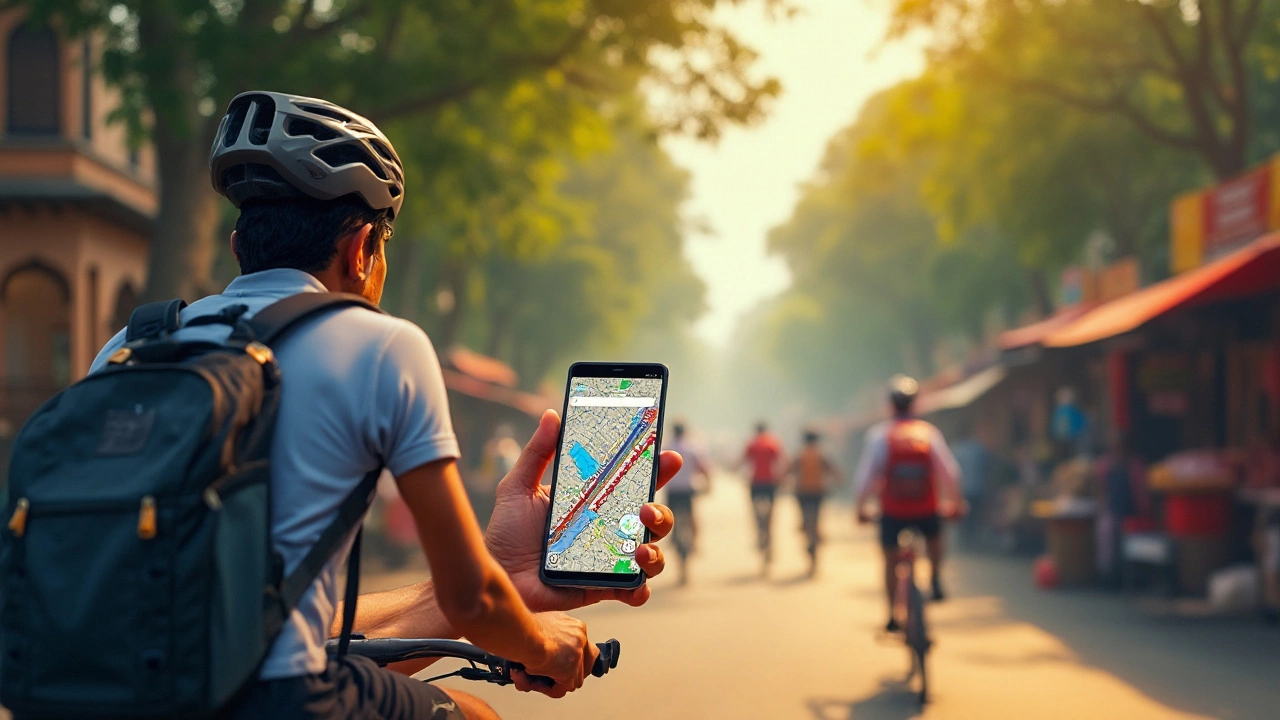
When it comes to navigating on two wheels, Google Maps has become a trusted companion for cyclists worldwide. But have you ever wondered how it calculates the estimated time for your bike rides? The process involves innovative use of data, algorithms, and even a bit of machine learning.
In this article, we'll explore the dynamics behind Google Maps' route suggestions and speed estimates for cycling. We'll examine the variables that affect travel time—such as terrain, elevation, and real-time data—revealing how these contribute to your journey. Whether you're an avid cyclist or a casual weekend rider, understanding these elements can make your biking adventures more predictable and enjoyable.
- Understanding Google Maps' Cycling Speed Estimates
- Factors Affecting Estimated Cycling Time
- The Role of Terrain and Elevation
- Real-Time Data and Machine Learning
- Customizing Your Cycling Routes
- Tips for Cyclists Using Google Maps
Understanding Google Maps' Cycling Speed Estimates
Google Maps has become an invaluable tool for cyclists, shaping the way we plan our journeys and explore new paths. But how does it determine the time you'll take to ride a route? It's a question worth delving into, as the accuracy of these estimates can make the difference between a smooth journey and a frustrating delay.
To begin with, Google Maps uses an average cycling speed to calculate estimated travel times. This speed is not just a random guess but is derived from extensive data collection, including user-reported travel data and historical traffic patterns. Typically, Google assumes an average speed of around 16 kilometers per hour or about 10 miles per hour, although this can vary based on regional cycling trends and the type of bike lanes available. This base speed serves as a benchmark, allowing the system to adjust for known variables.
An intriguing aspect is how Google integrates user activity and feedback into their estimates. By aggregating the travel data from thousands of cyclists who allow location sharing, Google adjusts their estimates to reflect real-world conditions. This crowdsourced input captures everything from typical waiting times at stoplights to the average speed on gradients, ensuring that the calculations are closer to the truth.
Another critical component is the terrain mapping that Google employs. By analyzing elevation data, Google Maps can anticipate how hills and flat lands will impact cycling speed. Uphill rides, naturally, decrease average speeds, while downhill sections increase it, leading to dynamic estimate adjustments as routes progress.
“Cycling speed estimates in Google Maps are always evolving,” says a Google Maps project lead. “We use the widest range of data to ensure accuracy, and our models are consistently refined as we gather more user data.”
The incorporation of machine learning algorithms also plays a pivotal role. These algorithms learn from past data and continuously improve the accuracy of the speed estimates. This blend of technology creates a responsive system capable of adapting to the nuances of urban cycling, where sudden changes in traffic or weather can drastically alter conditions.
For users tailoring their rides, these estimates are both a guide and a challenge. It's a blend of science and personal experience, where insights from community data empower cyclists to gauge and possibly even beat expected times. Understanding these dynamics gives one a strategic edge, equipping cyclists with the foresight necessary to plan adequately for any cycling journey.
Factors Affecting Estimated Cycling Time
When it comes to calculating cycling speed on Google Maps, several factors play a significant role in determining your estimated journey time. At the heart of this complex mechanism are intricate algorithms that assess everything from the shortest path to the safest and most efficient routes. The most obvious element affecting cycling time is the physical environment. Riders know that flat terrains allow for faster travel, whereas hilly or mountainous terrains require more effort and consequently increase time estimates. Google Maps smartly incorporates elevation data to adjust its predictions, offering users not just the shortest but also the most realistic timeframe for their ride.
Another crucial aspect considered by Google Maps is the real-time traffic and environmental conditions. Although most pertinent to vehicles, data about traffic congestion can sometimes influence cycling times too, particularly in urban settings. Google often relies on historical data alongside current traffic reports to optimize its cycling routes. Weather conditions can further complicate predictions. Rain, strong winds, or snow might not only slow a cyclist but also affect the safety of certain roads or paths, leading the platform to suggest alternative routes or longer travel times. This reflects a level of sophistication in the app’s ability to adapt and recalibrate based on current or imminent conditions.
Mundane details such as daily time patterns and even local events are taken into account by Google Maps as well. A vibrant bustling area may have different expected times during a weekday morning compared to a lazy Sunday afternoon. Bike routes sprinkled with everyday infrastructure like traffic lights and stop signs are further calibrated into these calculations. It’s these little things that can add up, impacting the total travel time for cyclists in certain areas. Google’s algorithms continuously learn and adjust based on collected data to improve the accuracy of these predictions.
In terms of personalization, a user's cycling profile history on Google Maps, including their preference for faster or more scenic routes, can subtly influence time calculations. Though not directly stated by Google, anecdotal evidence from regular riders suggests Google Maps might remember these preferences, refining its recommendations over time.
"Data drives our map-making," said a Google spokesperson. "We strive to provide the most up-to-date and reliable directions for everyone, whether on foot, by car, or on a bike."This philosophy underscores the resourcefulness of the platform’s methodology and its commitment to enhancing user experience through data-driven insights.
The Role of Terrain and Elevation
When planning a bike ride, the terrain and elevation are crucial factors that can make or break the cycling experience. Google Maps ingeniously incorporates these elements into its algorithms to provide reliable route insights for cyclists. While this technology might seem magical, it is firmly rooted in data science and cartographic information. Understanding how terrain impacts your ride involves recognizing the various gradients and surfaces a cyclist might encounter.
Different types of terrain can drastically alter the exertion required to cover certain distances. For instance, smooth pavement offers a more efficient ride compared to gravel paths or off-road trails. Meanwhile, elevation changes play a vital role in calculating exertion levels and time estimates; a journey with numerous climbs is naturally slower than a flat route. Google Maps meticulously maps out elevation levels to help cyclists anticipate these physical demands, ensuring a more pleasant journey overall.
The complex algorithms that power Google Maps' cycling paths take these variations into account. By analyzing topographical data, Google can predict how long a cyclist will take on different terrains, accounting for the lag in speed on inclines versus flat surfaces. This enables cyclists to assess whether a fast, direct route or perhaps a more scenic, leisurely path suits their current objectives. Indeed, balance plays a pivotal role. While a movie scene may reference bicycles flying uphill with ease, reality is quite different. Here, altitude gain translates directly to energy expenditure, and Google recognizes this by weaving authentic elevation dynamics into its app.
One particular study noted that cyclists tend to favor routes with minimal elevation gain even if it adds extra distance. This could be due to the heavy energy toll of pedaling uphill continuously. These insights are reflected by the feedback over years of app usage, giving Google Maps a nuanced understanding of what its users experience. Maps can give cyclists the ability to visually review profiles of various paths, anticipating both challenges and delightful aspects of upcoming rides. As modern technology pushes forward, expect further enhancements to how such data tailors and refines your cycling journey.
Moreover, the cycling speed impacted by terrain and elevation can sometimes be counterintuitive. While intuitively one might think that a downhill ride is quicker, factors such as braking, control, and obstacles can all interfere. To illustrate, a downhill packed with sharp turns may require near-constant braking, counteracting the potential increase in speed normally expected. As a response, Google Maps often provides precise speed estimates by simulating real cyclist behavior over various slopes and angles.
"One of the main challenges that cyclists face is elevation. Our algorithms are designed to understand elevation changes on any given route, helping cyclists plan their journey more efficiently," says a Google Maps spokesperson, emphasizing their commitment to enabling smarter ride planning for users.
To bring it all together, the profound role of terrain and elevation in Google Maps is emblematic of how technology continues to reimagine navigation. Cyclists leveraging these insights can enjoy a smoother journey, whether the goal is daily commute efficiency or exploring unknown places over the weekend. As you set out on your next cycling adventure, spare a moment to appreciate the layers of data and thoughtful engineering behind these straightforward lines on your screen.
Real-Time Data and Machine Learning
Google Maps isn't just guessing when it provides cycling routes; it's drawing on a vast network of real-time data to give the most accurate predictions possible. The app leverages data from millions of users, creating a dynamic map that reflects current conditions. This data includes information on traffic patterns, road closures, and even the weather. All these variables can heavily influence your cycling speed and estimated time of arrival. The goal is to ensure that when a cyclist is on the road, the map's recommendations provide the most efficient and accurate guidance. As you pedal through city streets or open countryside, the app continuously updates to reflect the changing conditions, making sure you're always on the best path.
Machine learning plays a critical role in refining these predictions. Google's algorithms learn from historic bike ride data, adjusting route suggestions based on previous patterns and specific trends observed in similar conditions. Imagine the advantage of having an invisible, intelligent assistant on your journey, constantly learning from every twist and turn, and evolving to offer better advice over time. According to a Google engineer, "The accuracy of our biking directions improves significantly thanks to our machine learning models that get feedback from real-world users." With such technology, the experience only gets better the more it's used, balancing various factors like speed limits, stoplights, and the presence of bike lanes.
For many cyclists, the integration of machine learning and real-time data means a new level of trust in digital directions. It's not just about the tech but how it's applied to create safer and more enjoyable rides. The real-time data ensures that cyclists are aware of what's happening on the roads right now, while machine learning helps anticipate what might happen next. They might even provide alternative routes should unexpected hindrances like construction or events occur, keeping your commute as smooth as possible. As the app collects more data and the machine continues to learn, the path routing will get even more fine-tuned, potentially transforming our biking experiences completely.
One thing cyclists might appreciate is how Google Maps incorporates environmental data to suggest slower, scenic routes or faster, efficient ones. For some, the key is reaching destinations quickly, while others might prefer a leisurely ride through nature. Being able to see your various options allows a cyclist to choose what's best for their current needs. By consistently analyzing data inputs and user feedback, Google Maps keeps edges out possible errors or glitches, continually updating its algorithms. Hence, this intersection of real-time data and smart learning results in a comprehensive, reliable companion for anyone on two wheels.
Customizing Your Cycling Routes
Customizing your cycling route on Google Maps can transform a mundane commute into an exhilarating adventure. While Google Maps performs impressively in selecting default routes based on biking speed and distance, there's much more you can do to tailor these journey paths to meet your specific needs and preferences. The first step is to create a personalized biking map. Using the custom map tool, cyclists can chart out routes that avoid busy streets or incorporate bike lanes for increased safety. You may decide to include stops that align with your interests, such as scenic spots or cafes, making the travel not only efficient but delightful.
For those who crave more fascinating rides, leveraging Google My Maps can open up possibilities of manually plotting points of interest along your route. It’s worth noting, cyclists can maximize the use of custom layers to add multiple destinations, ensuring no spot on their wish list is missed. Additionally, as the terrains can vary dramatically from cityscapes to hilltops, understanding the elevation profiles of your selected route is critical. This function is crucial for those planning a more physically challenging route, as knowing when a steep hill is approaching can help manage energy and pace more effectively.
Experts at Cycling Weekly suggest, "Successful route planning lies in recognizing preferences and using tools like Google Maps to align each ride with your expectations, turning navigation into exploration."
Moreover, when GPS connectivity falters during a ride, cyclists can never overestimate the importance of downloading bike maps for offline use. This feature ensures that you're never left without directions, even in areas with spotty data coverage. Similarly, customizing the route timing aspect based on real-world traffic patterns can result in smoother travels. With bike mode, Google Maps considers the different speed of a cyclist compared to a car, allowing for more accurate time estimates. Depending on the day and time, these adjustments might be beneficial, especially to avoid congested cycling pathways.
Creating routes isn't the only way to customize; setting preferences for route types such as avoiding highways or tolls is another astute method to modify your journey. Google Maps provides filters to choose terrain types and to emphasize bike-only paths. These filters pay off wonderfully for anyone wanting a quieter ride as they skirt busy vehicle roads. It broadens the cycling map layouts by integrating local trails and cycling routes previously unknown to the rider. Consequently, it can open your biking world to undiscovered paths marked by nature and tranquility.
Using the route preview feature aids in visualizing transit challenges like construction blocks or vehicular detours. By previewing, riders can heed potential inconveniences and adjust their plans accordingly. It also helps when selecting between multiple suggested routes, presenting data that compares distance and time efficiently. Fine-tuning these aspects of your cycling itinerary elevates the biking experience, ensuring you’re not just informed but also empowered with choice and command over your ride.
Tips for Cyclists Using Google Maps
Using Google Maps for your cycling adventures can transform the way you ride, making it more efficient and enjoyable. To leverage the full potential of this tool, there are a few savvy tricks you might want to consider. First and foremost, always type in your starting point and destination to get the specific cycling route. Google has incorporated real-time data, helping you dodge congested roads during rush hours. This feature can save you a significant amount of time.
Knowing the right settings can enhance your riding experience. Make sure to choose the bicycle option in the navigation type to get the most accurate bike routes specifically designed for cyclists. These routes often include bike lanes and less traffic-heavy streets to ensure a safer journey. It's a good idea to familiarize yourself with the elevation data that Google Maps provides. Steep inclines might not be visibly evident on the map, but the elevation graphs help you anticipate them. This is crucial if you're planning a long-distance ride or packing extra gear, making preparation smoother and more predictable.
The use of real-time weather updates can be a game-changer for cyclists. Checking the weather conditions directly within the app enables you to prepare according to temperature, wind speed, and potential rain forecasts, ensuring you're never caught off guard. Consider using Google Maps in conjunction with a cycling app to track your ride metrics. Many apps integrate seamlessly with Maps, offering insights like speed, distance, and calories burned. This setup not only boosts motivation but also helps you set personal goals and track your improvements over time.
According to Wired, "With the rise of smart tech and apps like Google Maps, cyclists can focus more on the joy of the ride and less on direction mishaps." This quote captures the essence of using tech innovations to enhance leisure activities.
For safety, familiarize yourself with streets and areas you plan to explore in advance. Google's Street View can be a handy tool for checking the road conditions and visual references to look out for. Also, setting your route offline can be a lifesaver when cycling through areas with a weak signal. By downloading maps ahead of time, you avoid being stranded mid-route when mobile data falls short. Remember to keep your mobile device charged, as using Maps continuously can drain your battery quicker than usual.
- Utilize the Street View feature to check route conditions.
- Pre-download your map to counteract connectivity issues.
- Keep your phone charged during long rides.
Finally, always maintain awareness of your surroundings while using a device like Google Maps. Although technology is incredibly helpful, staying alert to potential hazards, other cyclists, and vehicle movements is critical for a safe journey. Happy cycling!